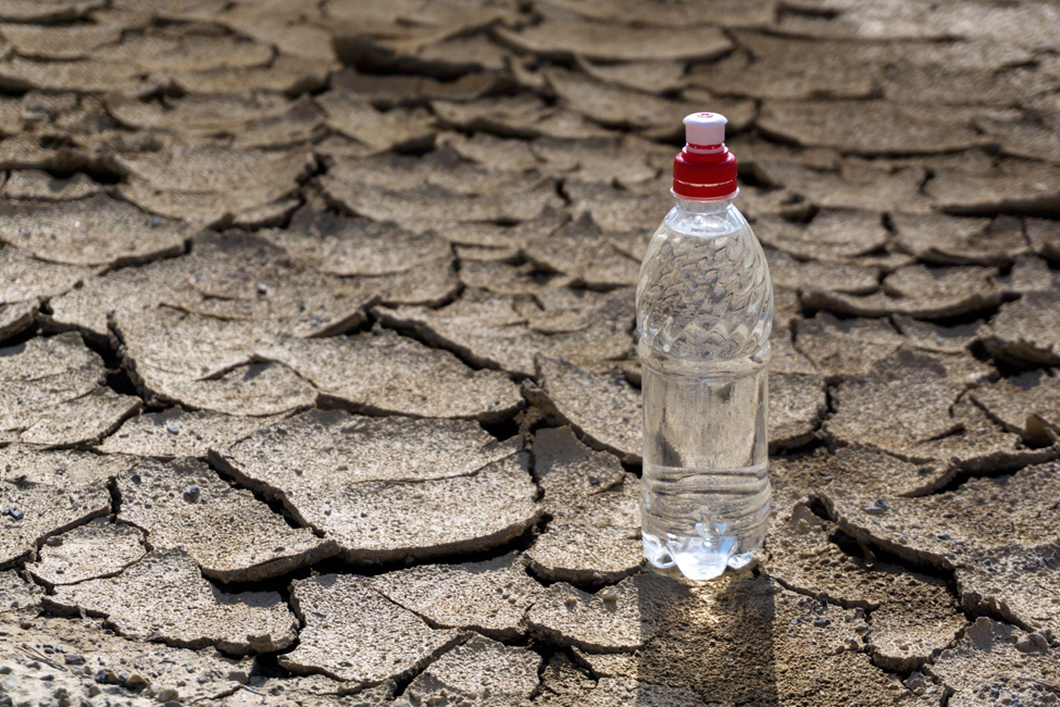
The unpredictable weather and rising temperatures caused by climate change create major challenges for agriculture. Farmers now face the daunting task of protecting their crops from extreme heat, unexpected frosts, and flooding, which threaten global food supplies. To address these challenges, innovative approaches are necessary. Modern technologies such as drones, ground sensors, satellite data analysis, game mods and genetically modified crops can provide farmers with the means to adapt and succeed. Embracing sustainable methods will also improve soil health and biodiversity, leading to more resilient farming practices.
Satellite monitoring plays a crucial role in this domain, providing valuable data on crop health, soil moisture, and weather patterns. This information allows growers all over the world to make informed decisions, optimize water use, improve yield forecasts, and more. Additionally, agricultural satellite image APIs offer real-time access to this critical data, further empowering farmers with precise, timely insights.
Impact of Climate Change on Agriculture
All farmers know that weather can be their best ally and the worst enemy when growing their crops. And now, with the ongoing climate change, it’s harder and harder to adjust. More so, interconnection implies that farming also influences the climate. Water use, different inputs, soil tillage — all these processes can either mitigate climate change or do the exact opposite. It depends on how it’s done and how much data was analyzed to make decisions on each farming practice. Luckily, solutions like satellite agricultural imagery API allow for responding to these challenges by offering easy integration of necessary data where needed without having to create a new software.
One example of how agriculture depends on climate is that warmer temperatures are shifting growing seasons, disrupting crop lifecycles. For this reason, California wine growers now harvest earlier, impacting wine quality. Pests and diseases are also spreading to new areas, with pests like the corn earworm migrating northward in the U.S., and diseases such as wheat rust reaching higher altitudes.
In general, agriculture contributes to one-third of global greenhouse gas emissions. Fertilized soil emits nitrous oxide, cattle produce methane, and burning fields release carbon dioxide. Therefore, food and beverage sector, responsible for up to 37 percent of these emissions, plays a crucial role in promoting sustainable farming practices.
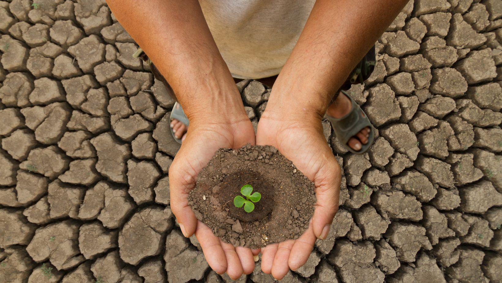
Good thing innovation doesn’t stand still. Oxfam’s training in the System of Rice Intensification (SRI) in Southeast Asia has helped rice farmers reduce water usage by 30 percent and greenhouse gas emissions by 20 percent. Sustainable practices like using organic fertilizers and planting trees are improving soil quality and resilience. The food and beverage industry, through initiatives like Oxfam’s “Behind the Brands” campaign, is making commitments to reduce emissions and adopt sustainable practices, driving positive change.
Harnessing the Power of Satellites for Climate Action
By offering a comprehensive, planet-wide perspective, satellites gather critical data on variables like temperature, humidity, and atmospheric chemistry. This wealth of knowledge enables scientists to identify patterns, spot irregularities, and pinpoint critical zones with exceptional precision, driving more informed and effective climate action.
Satellites allow us to observe environmental changes, such as melting ice caps and deforestation, offering a full picture of how human activity impacts the landscape. They also play a crucial role in monitoring greenhouse gas emissions, especially carbon dioxide, helping policymakers devise strategies to reduce emissions.
Moreover, satellite data is essential for managing climate-related risks. It allows for predicting extreme weather events, tracks sea level rise, and supports disaster preparedness, enabling proactive measures to protect communities and infrastructure.
Let’s get into more detail on some of the opportunities the spaceborne sensors offer.
Monitoring Weather Patterns
With remarkable precision, satellites observe the formation of hurricanes, the chaotic whirl of tornadoes, and the swirling intensity of typhoons. They serve as vigilant sentinels, supplying meteorologists with a continuous stream of real-time data, thus enabling highly accurate forecasts that were once beyond our reach.
These observers provide an unparalleled global perspective, from pole to pole, ensuring no part of the Earth remains unmonitored. This comprehensive view is particularly valuable for tracking weather in remote regions where traditional methods are inadequate. Satellites are not only thorough in their observations but also economically efficient, reducing the necessity for expensive ground-based equipment or hazardous flights into the core of storms.
Nevertheless, the effectiveness of satellite technology is not without limitations. The wealth of data they collect, while extensive, is akin to a complex tapestry that demands expert interpretation. Meteorologists must meticulously analyze these patterns to transform raw data into actionable and potentially life-saving forecasts. Additionally, the sophisticated nature of satellite technology means it is susceptible to technical malfunctions, which can hinder the continuous flow of critical information.
Moreover, the operational lifespan of satellites is finite, constrained by their fuel reserves. As these technological marvels age, it is imperative to have replacement strategies in place to ensure uninterrupted atmospheric monitoring.
In the comprehensive narrative of weather prediction, satellites play both a leading and supporting role, providing invaluable insights while depending on human expertise and strategic planning for sustained effectiveness. For instance, satellite weather data integrated through agricultural API to a farming software can deliver essential information for smarter farming and land management.
Soil Health and Moisture Monitoring
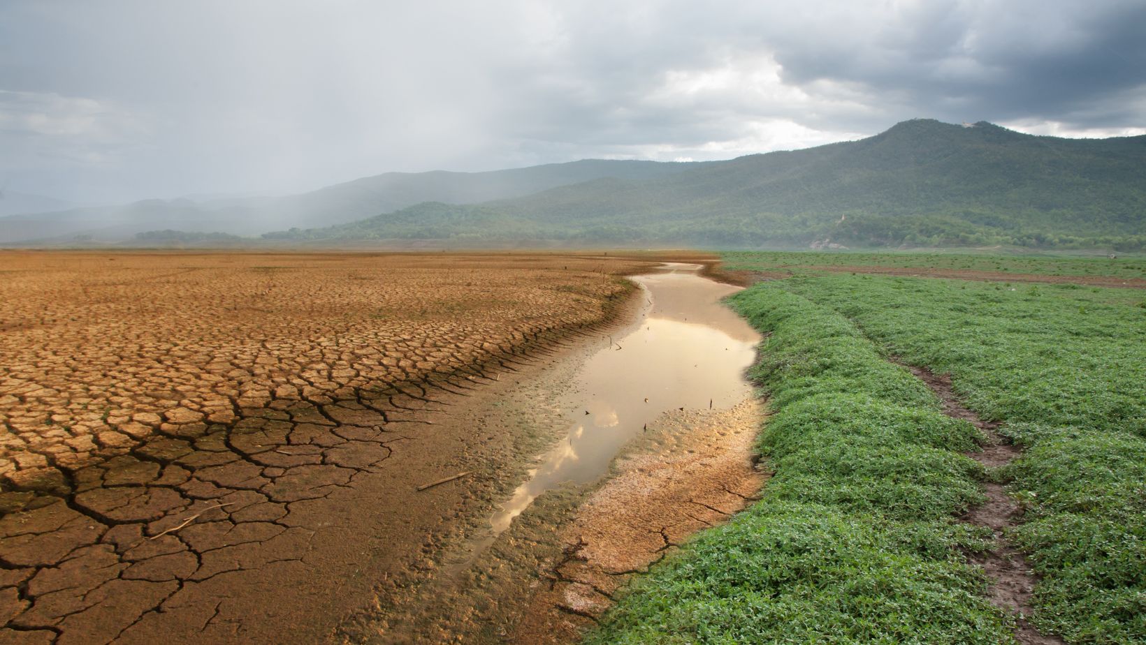
Instead of relying solely on ground-level inspections, farmers can now see their entire land from a bird’s-eye perspective, observing changes and patterns that would otherwise go unnoticed. Over time, these images reveal critical details about the health and vitality of crops. Vegetation indices, including NDVI, provide insights into soil moisture levels, canopy density, chlorophyll content, and more. This wealth of information enables farmers to detect and address issues such as pests, diseases, nutrient deficiencies, and water stress before they escalate. A recent report by the United Nations Food and Agriculture Organization underscores the impact of this technology, revealing that farmers using satellite imagery to monitor their crops experience an average yield increase of 12%.
EOSDA Crop Monitoring is among digital platforms that help support sustainable farming businesses. By providing all the necessary insights in one place, it helps optimize agricultural practices to be more sustainable and resilient. By offering access to valuable weather and crop data via its agriculture data API, EOSDA ensures that farmers can adapt to changing weather patterns and maintain productivity in the face of climate challenges.
Crop Health and Yield Prediction
Satellite imagery is a superpower for modern food producers. It allows them to see their crops from above, revealing vital details about plant health that are invisible from the ground. This helps predict yields more accurately based on reliable data, letting growers adapt to changing climate conditions. Knowing exactly where and when your crops need water or nutrients before problems arise is what helps to ensure good yields. This technology transforms farming, making it smarter and more resilient. With satellite imagery and the integration of API in agriculture, farmers can access real-time data and analytics, navigate the challenges of climate change, and ensure healthier crops and better harvests.